Transform Your Field Data Workflows
Seamless Enterprise GIS to Mobile Field Data Collection
The Challenge
Current field data collection solutions are expensive, complex, and disconnected
Cost Burden
- • $500+ per user annually for field mapping
- • $5,000+ for 10 field technicians
- • Limited budget flexibility
- • Expensive training requirements
Workflow Friction
- • Manual data transfer between systems
- • Lost work recreating projects
- • Complex conversion processes
- • Version control nightmares
Adoption Challenges
- • Complex mobile interfaces
- • Extensive training needed
- • Poor user experience in field
- • Low productivity rates
Data Integrity Issues
- • Duplicate data entry
- • Validation errors
- • Format conversion problems
- • Quality control gaps
Powerful Integration Features
Everything you need for seamless enterprise-to-field workflows
Automated Conversion
- • One-click ArcGIS Pro to Mergin Maps conversion
- • Preserve attribute domains as DB constraints
- • Maintain symbology and styles
- • Automated schema translation
- • Enterprise geodatabase support
Data Management
- • GeoPackage conversion engine
- • Domain preservation with CHECK constraints
- • Relationship and topology handling
- • Real-time validation
- • Built-in quality assurance
Mobile Excellence
- • Intuitive field data collection
- • Offline-capable by design
- • GPS-enabled capture
- • Photo and multimedia support
- • Form-based validation
Bidirectional Sync
- • Automatic field-to-office sync
- • Conflict resolution
- • Version management
- • Enterprise database updates
- • Real-time collaboration
Enterprise Ready
- • Dependency injection architecture
- • Comprehensive logging
- • Configuration management
- • Scalable infrastructure
- • Security best practices
Quality Assurance
- • Automated testing framework
- • Built-in validation rules
- • Error reporting and handling
- • Data quality monitoring
- • Audit trails
Measurable Benefits & ROI
Real cost savings and efficiency gains for your organization
Cost Savings
60-80% reduction in field licensing costs. Eliminate duplicate software investments. Reduce training time by 60-80%.
Efficiency Gains
40-60% faster data collection. Automated workflows eliminate manual transfers. Real-time data availability.
Quality Improvements
50-70% error rate reduction. Enterprise validation in field apps. Consistent data standards across platforms.
Rapid Deployment
300-500% faster project setup. Leverage existing ArcGIS Pro projects. Streamlined field team onboarding.
Return on Investment Analysis
ArcGIS Field Maps + ArcGIS Pro
per user/year
- • Field Maps: $500-800/user/year
- • ArcGIS Pro: $700/user/year
- • Training: $200/user/year
- • Complex workflows
ArcGIS Pro + Mergin Maps Integration
per user/year
- • ArcGIS Pro: $700/user/year
- • Mergin Maps: $50-100/user/year
- • Integration: $100/user/year
- • Automated workflows
Real-World Applications
How organizations transform their field operations
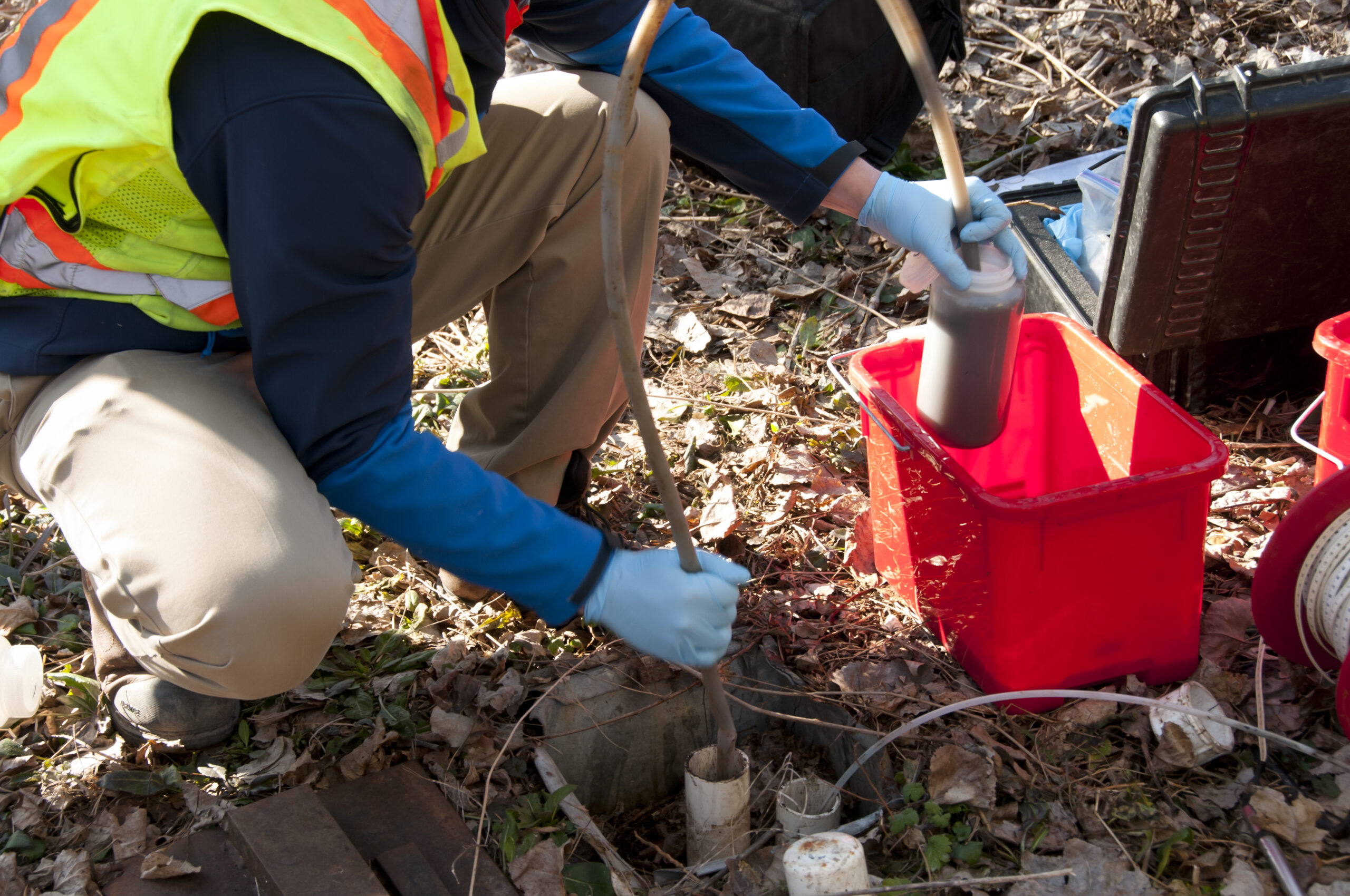
Environmental Monitoring
Desktop teams prepare sampling protocols in ArcGIS Pro, field crews collect water quality data with Mergin Maps, and automated analysis generates real-time reports.
Desktop: Sampling protocol preparation
Field: Water quality data collection
Office: Automated analysis & reporting

Infrastructure Management
Manage assets and work orders in ArcGIS Pro, conduct inspections with photo documentation in the field, and update dashboards in real-time.
Desktop: Asset management & work orders
Field: Inspection & photo documentation
Office: Real-time dashboard updates

Agricultural Operations
Plan precision agriculture strategies, monitor crops and collect yield data in the field, and generate automated seasonal reports.
Desktop: Precision agriculture planning
Field: Crop monitoring & yield data
Office: Automated season planning
Municipal Services
Conduct GIS analysis and project planning, perform code enforcement and asset inspections, and manage citizen service requests efficiently.
Desktop: GIS analysis & planning
Field: Code enforcement & inspections
Office: Service request management
🎙️ Listen to Our Podcast
Revolutionizing Field Data Collection: ArcGIS Pro Meets Mergin Maps
GIS Innovation Today
Field Data Success Stories
What Our Customers Say
Real results from organizations like yours
"The integration solved our biggest challenge - connecting our enterprise GIS workflows with cost-effective field data collection. We're saving $30,000 annually while improving data quality."
Sarah Johnson
GIS Manager, Regional Municipality
"Our field teams love the simple interface, and our office teams appreciate the seamless data integration. It's the best of both worlds."
Michael Chen
Operations Director, Environmental Consulting Firm
"We reduced our field data collection costs by 65% while maintaining all our enterprise data standards. The ROI was immediate."
David Martinez
IT Director, Utility Company
Simple, Transparent Pricing
Choose the plan that fits your organization
🚀 Starter
Perfect for small teams
- • Up to 10 users
- • Basic integration features
- • Community support
- • ArcGIS Pro Add-in
- • Mergin Maps integration
- • Training materials
🏢 Professional
For growing organizations
- • Up to 100 users
- • Advanced sync capabilities
- • Email support
- • Custom forms and workflows
- • Priority updates
- • Advanced analytics
- • Training sessions
🏭 Enterprise
For large organizations
- • Unlimited users
- • Full feature access
- • Dedicated support
- • Custom development
- • SSO integration
- • SLA guarantees
- • On-premise options
💡 All plans include ArcGIS Pro Add-in, Mergin Maps integration, and regular updates
30-day money-back guarantee • No long-term contracts required
Ready to Transform Your Field Data Workflows?
Join organizations saving thousands while improving data quality and field productivity
Schedule Demo
See the integration in action with your own data. Get technical questions answered by our experts.
Start Pilot
30-day free trial with your existing ArcGIS Pro projects. Test with your field teams risk-free.
Scale Success
Full deployment with training, support, and ongoing optimization for your entire organization.
maps@techmaven.net | 1-800-GIS-SYNC www.techmaven.net