Urban Planning & Development
AI-powered spatial analysis is revolutionizing how cities plan for growth, optimize infrastructure, and serve citizens.
City of Phoenix Case Study
Challenge: Planning department needed to identify optimal locations for new mixed-use developments that would minimize traffic impact and maximize access to amenities.
Solution: AI-powered predictive modeling analyzed 50+ variables including traffic patterns, demographics, property values, and infrastructure capacity across 500+ potential sites.
Results:
- Identified 12 optimal development zones in 3 days (vs. 6 months manually)
- $2.3M saved in avoided infrastructure costs
- 23% reduction in projected traffic congestion
- 95% community approval rating
Additional Urban Planning Applications
- Zoning Optimization: AI recommends zoning changes based on growth patterns
- Public Transit Planning: Predict ridership and optimize routes
- Green Space Allocation: Identify underserved areas for parks
- Affordable Housing: Site selection with equity considerations
- Smart Growth: Simulate 20-year development scenarios
Environmental Monitoring Tools
- Deforestation Tracking: Monitor 1M+ acres automatically
- Water Quality: Predict contamination risks
- Wildlife Habitat: Model species distribution changes
- Carbon Sequestration: Measure forest carbon capture
- Ecosystem Health: Early warning system for degradation
Impact: EPA now monitors 10x more area with the same budget, detecting environmental issues 6 months earlier on average.
Environmental Management
Track ecosystem health, monitor environmental changes, and predict ecological impacts with unprecedented accuracy.
EPA Forest Monitoring Program
Challenge: Manually analyzing satellite imagery to detect deforestation was time-consuming and limited monitoring capacity.
Solution: AI image recognition processes 50,000 satellite images monthly, automatically detecting forest changes and classifying causes.
Results:
- 85% reduction in analysis time
- Coverage expanded from 100K to 1M acres
- 98% accuracy in change detection
- Early intervention prevented $15M in environmental damage
Emergency Response & Disaster Management
Enhance preparedness, optimize response, and save lives with AI-powered predictive risk modeling.
FEMA Flood Risk Assessment
Challenge: Traditional flood risk models couldn't incorporate real-time data or adapt to changing climate conditions.
Solution: AI predictive modeling combines historical floods, terrain analysis, climate projections, and infrastructure data to generate dynamic risk maps.
Results:
- 92% accuracy in predicting flood zones
- Response time reduced from 6 hours to 45 minutes
- $28M saved through optimized resource pre-positioning
- 50% improvement in evacuation planning
Emergency Management Applications
- Wildfire Prediction: Forecast fire spread in real-time
- Hurricane Tracking: Optimize evacuation routes dynamically
- Earthquake Response: Prioritize damage assessment areas
- Resource Allocation: Pre-position emergency supplies optimally
- Vulnerable Populations: Identify at-risk communities automatically
Infrastructure Use Cases
- Bridge Inspection: Drone imagery + AI = automated defect detection
- Pavement Assessment: Road condition monitoring at scale
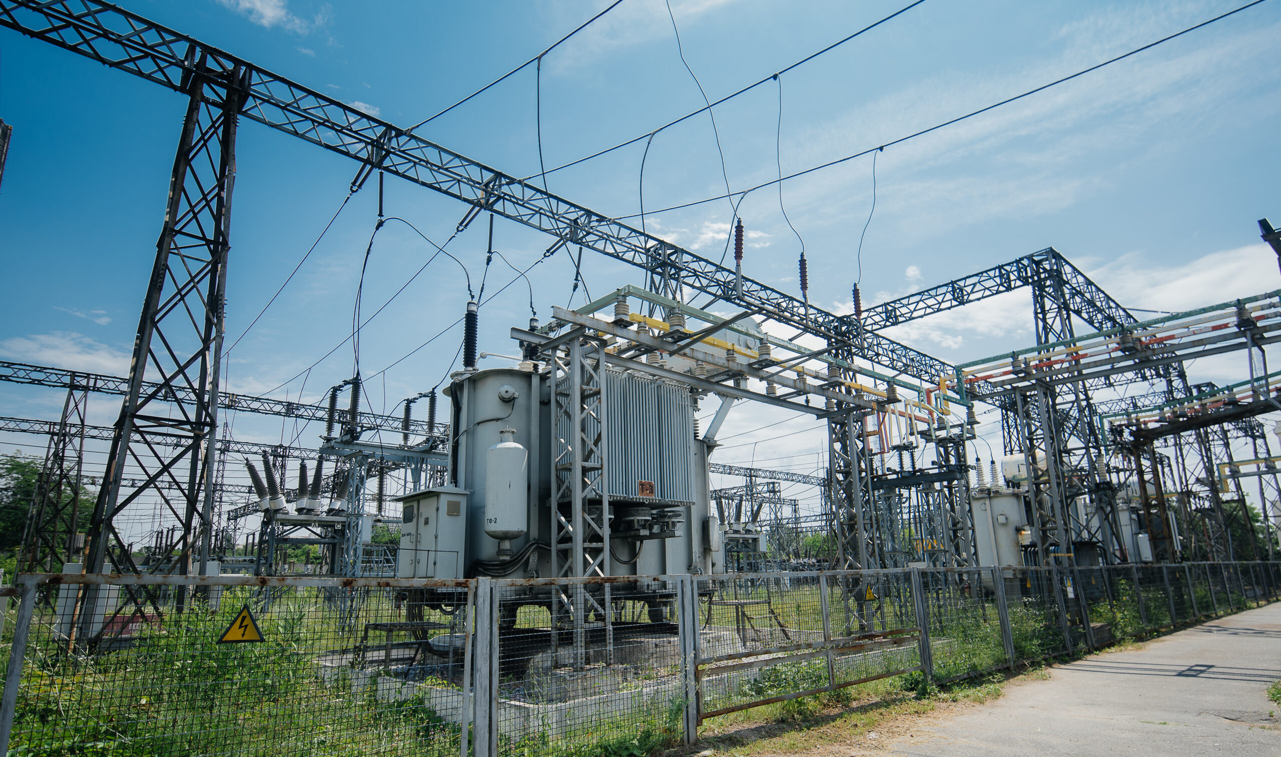
- Utility Network: Predict infrastructure failures before they occur
- Asset Prioritization: Data-driven maintenance scheduling
- Traffic Optimization: AI-powered signal timing
Infrastructure & Asset Management
Automate inspections, predict maintenance needs, and optimize infrastructure investments.
State DOT Asset Management
Challenge: Manual inspection of 15,000 bridges and 50,000 miles of roadway was expensive and time-consuming.
Solution: AI image recognition analyzes drone and vehicle-mounted camera footage to automatically detect defects, cracks, and deterioration.
Results:
- 60% reduction in inspection costs ($4.5M annually)
- 100% asset coverage (up from 30%)
- Predictive maintenance reduced emergency repairs by 45%
- Asset lifespan extended by average of 7 years
More Industry Applications
AI-enhanced GIS is transforming operations across diverse sectors