Powering Analytics For
See DuckDB Integration in action across different geospatial workflows
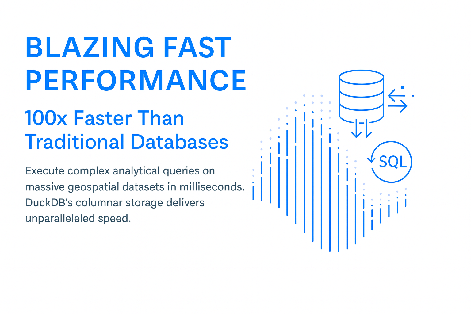
Core Capabilities
Everything you need for advanced geospatial analytics
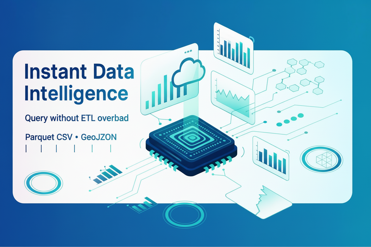
Native Parquet Integration
Query Parquet files directly without loading into memory. Leverage columnar storage for optimal compression and query performance. Support for partitioned datasets and predicate pushdown.
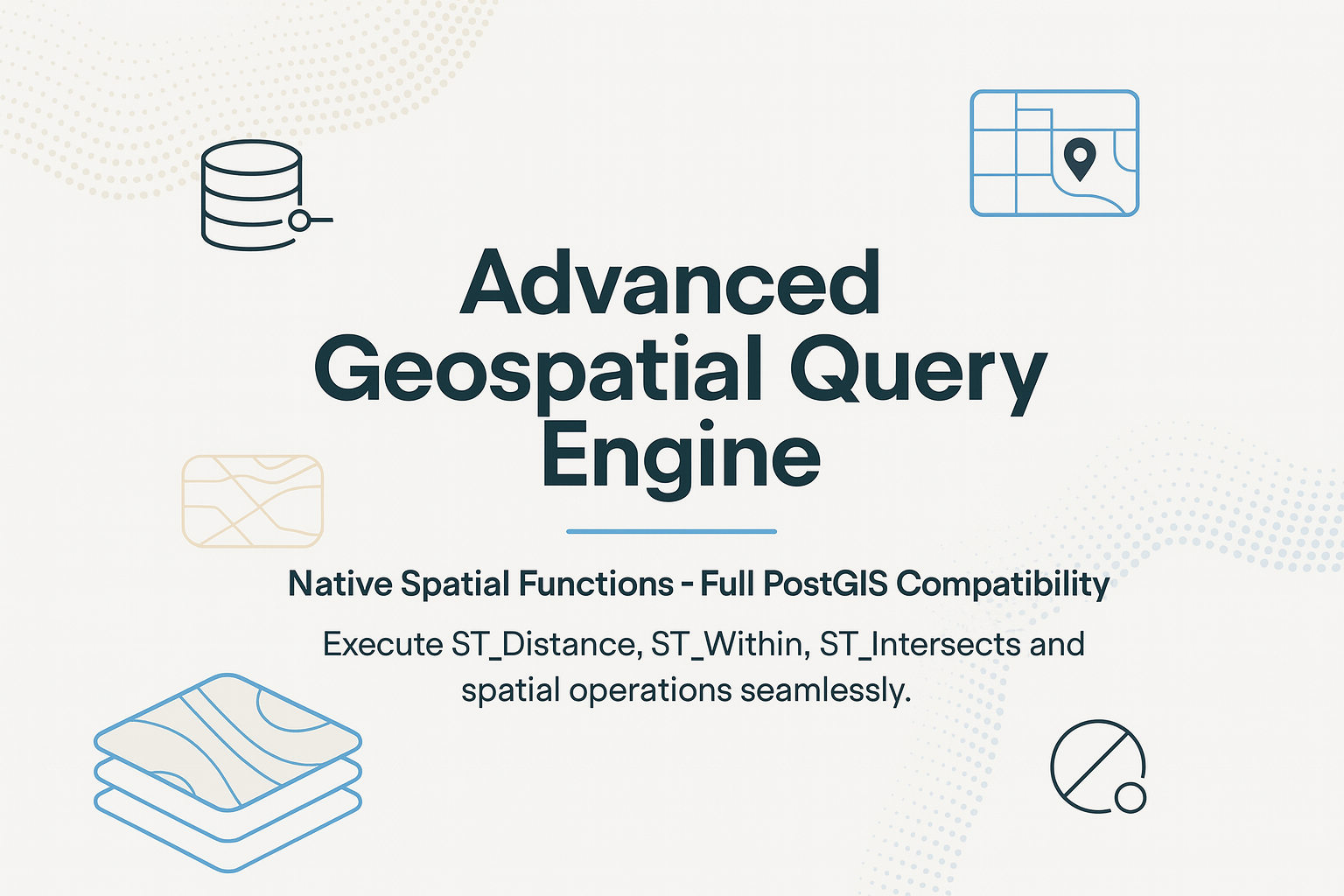
Advanced Spatial Indexing
R-tree spatial indexes for lightning-fast spatial joins and queries. Automatically optimize query plans for spatial operations with millions of geometries.
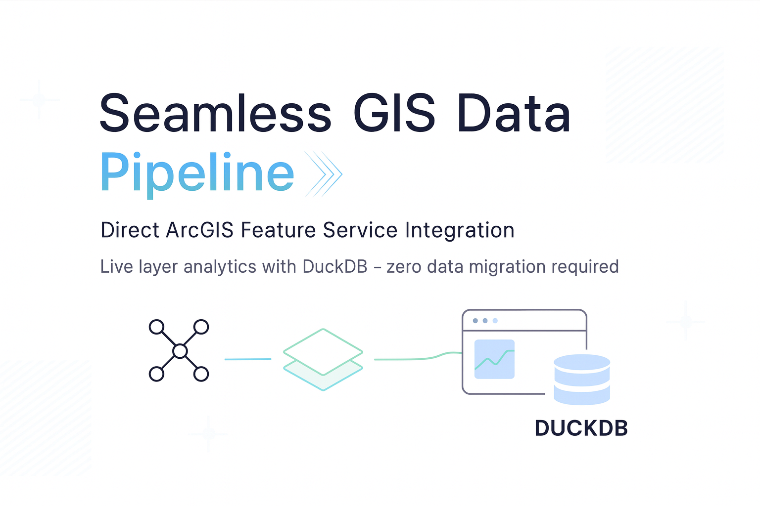
ArcGIS Feature Layer Integration
Seamlessly connect to ArcGIS Feature Services and consume data directly in DuckDB. Execute complex analytics on live feature layers without data duplication.
Python & R Integration
Native Python and R APIs for data science workflows. Use DuckDB with pandas, GeoPandas, Arrow, and popular data science libraries for end-to-end geospatial analytics.
Multi-Format Support
Read and write CSV, JSON, Parquet, GeoJSON, Shapefile, GeoPackage, and more. Convert between formats with simple SQL commands. Native support for compressed files.
Window Functions & Analytics
Advanced window functions, common table expressions (CTEs), and analytical capabilities. Perform time-series analysis, ranking, and aggregations with SQL elegance.
Real-World Use Cases
See how organizations leverage DuckDB for geospatial analytics
Urban Planning & Analysis
Analyze millions of property records, census data, and infrastructure assets in real-time. Generate zoning reports, demographic insights, and impact assessments instantly.
- Process 10M+ parcels in seconds
- Interactive dashboards with live data
- No ETL or data warehousing required
Environmental Monitoring
Track environmental changes across vast regions. Analyze satellite imagery, sensor networks, and climate data with unprecedented speed and efficiency.
- Time-series analysis on IoT sensor data
- Raster and vector data integration
- Change detection algorithms at scale
Transportation & Logistics
Optimize routing, analyze traffic patterns, and manage fleet operations with real-time geospatial analytics on billions of GPS points.
- Route optimization on live traffic data
- Spatial clustering for delivery zones
- Historical trajectory analysis
Business Intelligence
Power location-based analytics dashboards with instant query responses. Combine business data with geospatial context for deeper insights.
- Market analysis by region/territory
- Customer segmentation with location data
- Real-time KPI monitoring on maps
Ready to Transform Your Geospatial Analytics?
Experience the speed and efficiency of DuckDB integrated with ArcGIS. Contact us for a demo or consultation.