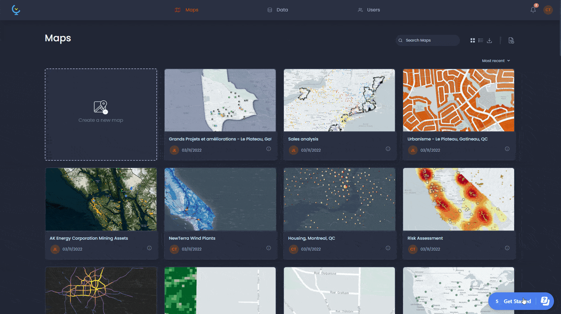
Advanced Editing
and Analysis
Utility Focused
with IBM Maximo Integrations
Enterprise-grade geospatial analytics platform combining advanced ETL processing, real-time data mesh architecture, and seamless IBM Maximo integration for comprehensive utility management.
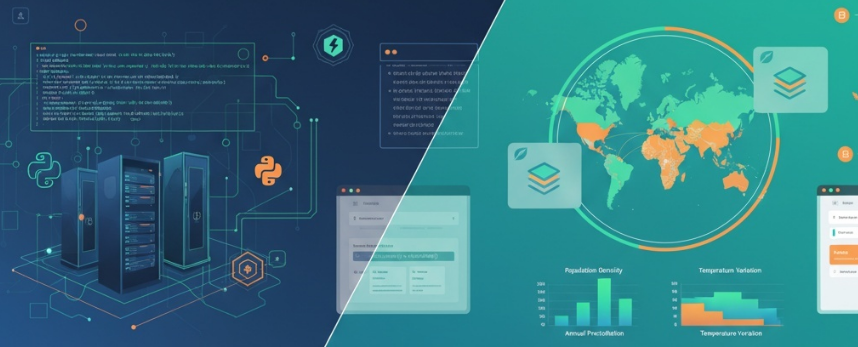
Technology Stack
Powered by industry-leading data processing, geospatial analytics, and enterprise integration technologies
Frontend Technologies
ESRI Leaflet
Interactive mapping with geospatial visualization
Backend Technologies
Python FastAPI
High-performance async web framework
Jupyter Notebook LeafMap
Interactive geospatial analysis environment
Platform Capabilities
Advanced features designed for enterprise-grade geospatial analytics and utility management
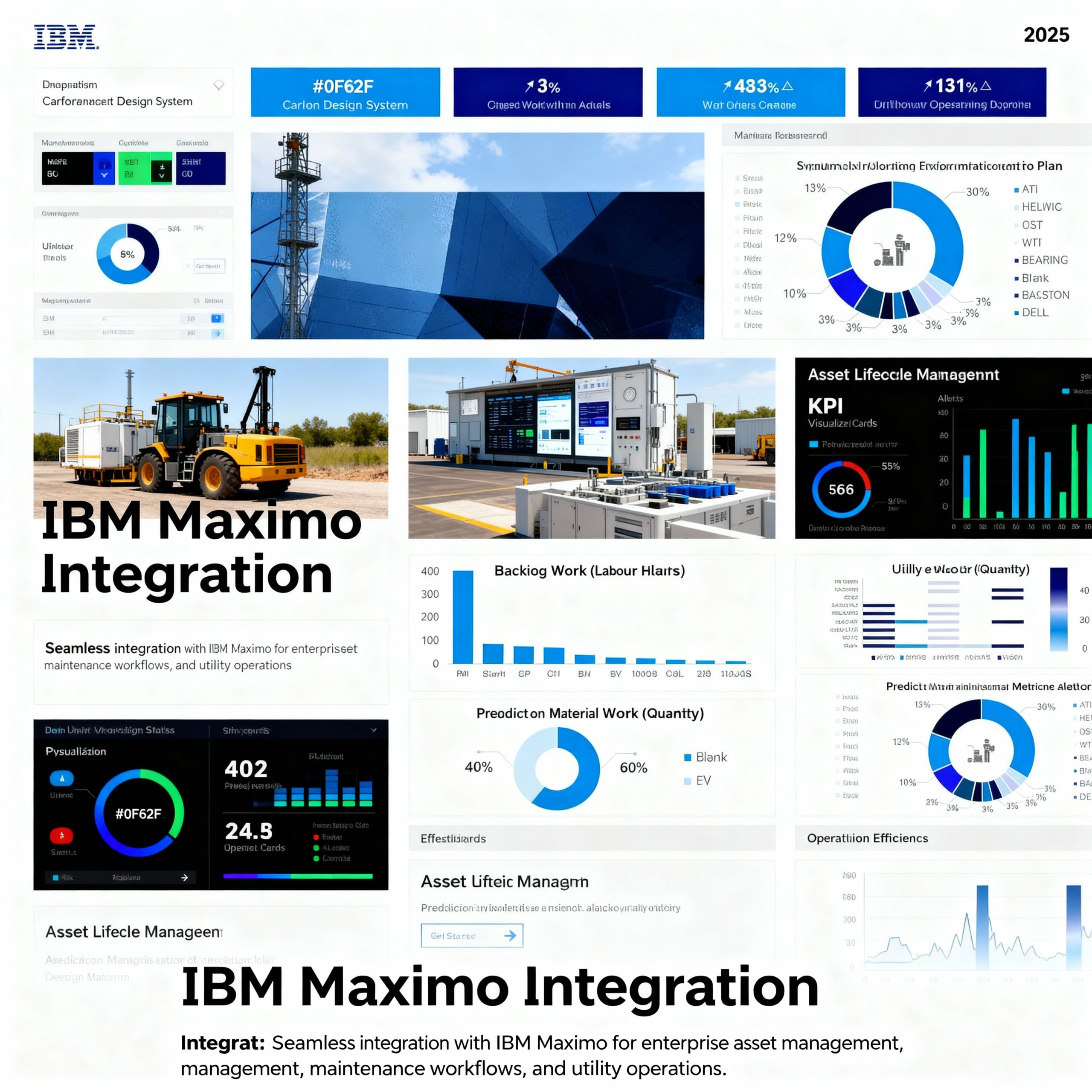
IBM Maximo Integration
Seamless integration with IBM Maximo for comprehensive enterprise asset management, maintenance workflows, and utility operations.
Real-time Analytics
Live data streams from IoT sensors and satellite feeds processed with AI-powered geospatial intelligence and predictive analytics.
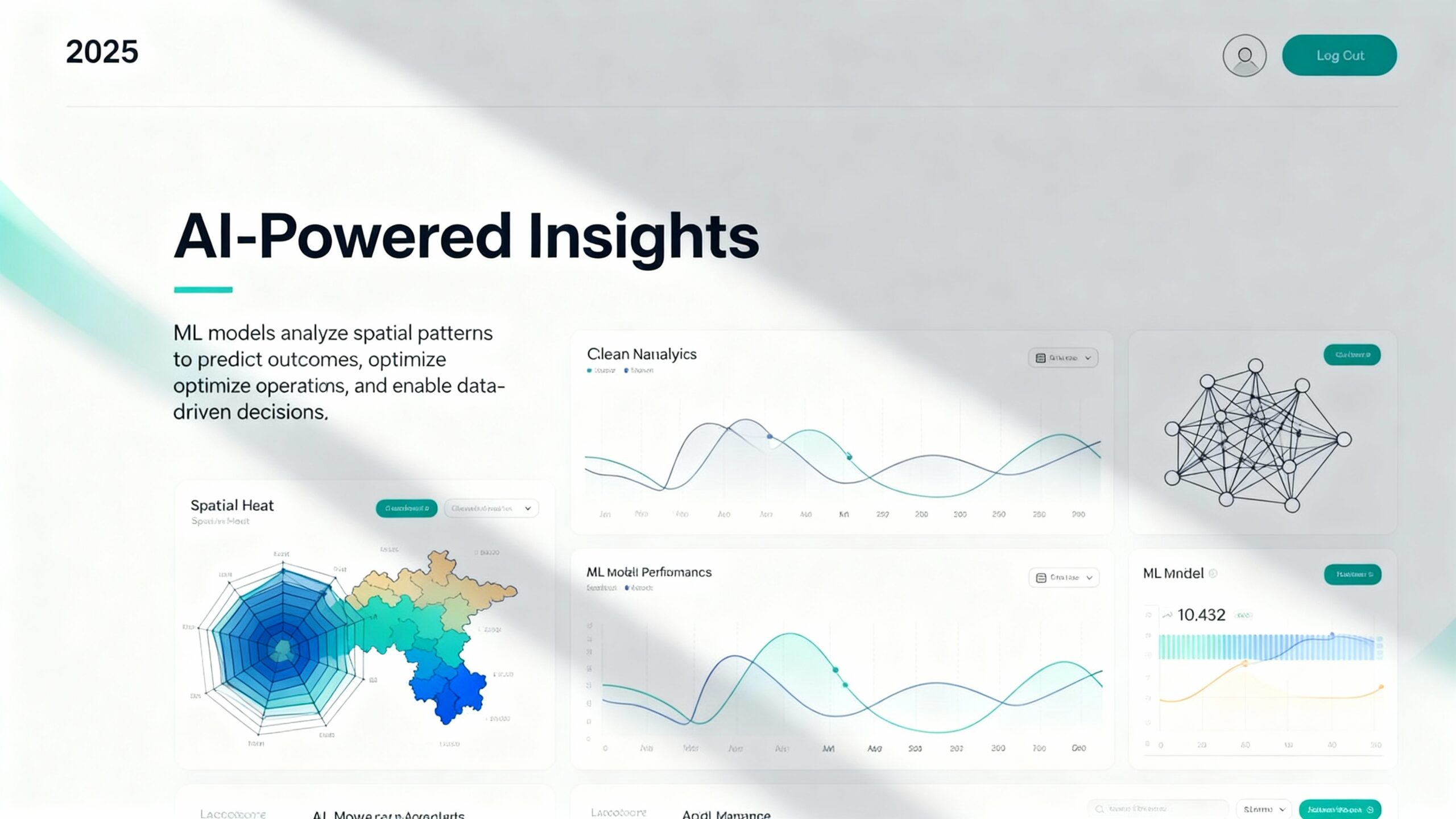
AI-Powered Insights
ML models analyze spatial patterns to predict outcomes, optimize operations, and enable data-driven decisions.
Experience the Data Mesh Revolution
See how our platform transforms raw geospatial data into actionable insights through advanced ETL processes, real-time analytics, and seamless enterprise integration.
-
Lightning-Fast Processing
Process terabytes of geospatial data in real-time with optimized ETL pipelines
-
Seamless Integration
Connect multiple data sources through unified APIs and service mesh architecture
-
Enterprise Security
Bank-level security with comprehensive authentication and audit logging
Ready to transform your geospatial operations?
Join organizations worldwide using advanced data mesh architecture for enterprise utility management.
Get Started Now